With an aim to simplify the collection and analysis of geospatial data in surveying, agriculture and engineering, senseFly, the commercial drone subsidiary of Parrot Group, was founded in 2009 and soon became the leader in mapping drones.
senseFly was born out of intensive research conducted at the Laboratory of Intelligence Systems at the Swiss Federal Institute of Technology (EPFL) in Lausanne, Switzerland. The research team developed an intelligent autopilot by incorporating smart sensors and control strategies, similar to those found in flies and bees. Based on this concept, senseFly officially launched their first commercial drone to the thriving market. The company develops intelligent, safe and easy to-use systems that provide professionals with the data they need to make better decisions.
The inventive solutions provided by senseFly
senseFly believes that technology should be used to make work both safer and more efficient. Their field-proven, end-to-end drone solutions simplify the collection and analysis of geospatial data, allowing surveying and GIS professionals, and their clients, to make better decisions, faster.
Their solutions have flown over 520,000 flights to date globally, mapping a region of more than 65 million acres in the process. Presently, thousands of geospatial professionals employ the company’s eBee range of large-coverage, fixed-wing drones across a myriad of surveying applications, from cadastral work and urban planning projects to quarry and mine surveys, as-built surveys, land management studies and more.
senseFly equipment is always buoyed by the very highest level of professional support, typically provided by their expert network of local service partners. There are several reasons to choose senseFly as their products are simple to use—hand-launched with automated flight, image capture, smooth landing and no piloting skills required. Their systems are safe to use with the lowest take-off weights in their category and shock-absorbent construction. Above all, senseFly solutions are designed from the ground up to meet industry needs. They are supplied with the company’s acclaimed professional-grade eMotion ground station software and are seamlessly compatible with industry-leading Pix4D photogrammetry software.
The leader behind the vision
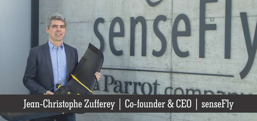
Jean-Christophe Zufferey, the Co-founder and CEO of senseFly has strong links with the Laboratory of Intelligent Systems (LIS) at the Swiss Federal Institute of Technology in Lausanne (EPFL), where he co-supervised several PhD students in aerial, bio-inspired and swarm robotics, and taught a master-level course in mobile robotics.
After completing his master project at the Carnegie Mellon University (CMU) in Pittsburgh as an exchange student, he graduated in 2001 with a M.S. in micro-engineering from EPFL. In March 2005, he completed his thesis in Autonomous Robotics at EPFL, for which he got the ABB 2006 best thesis award. Jean-Christophe co-authored more than 40 peer-reviewed journals and conference papers. He is the recipient of the best IROS’2006 paper award. In summer 2007, he organised the first international symposium on Flying Insects and Robots that brought together experts in the biology of flying animals with roboticists. In 2008, he released a book titled Bio-inspired Flying Robots. He also supervised numerous research projects in aerial robotics funded by private or public companies, the Swiss National Science Foundation, or the European community.
Aside his professional occupations, Jean-Christophe enjoys flying as a private pilot. He started with a glider license and progressively moved to single-engine-piston airplanes to helicopters. He now regularly practices mountain landing with small airplanes, country-side landings with Robinson helicopters and aerobatics with an Extra 200 aircraft. Jean-Christophe says, “As a licensed pilot with a passion for flying helicopters and fixed-wing aerobatics, I bring my passion and drive to the company, while offering a unique perspective.”
New achievements to introduce in the market
senseFly released its newest drone platform, the eBee Plus, a large coverage photogrammetric mapping system featuring RTK/PPK upgradeability for survey-grade accuracy on demand, in 2016. It can map more square kilometres per flight than any drone in its weight class, maximizing a person’s efficiency and plan projects with confidence. The eBee Plus offers a camera to suit every application, including the senseFly S.O.D.A. (supplied), the first camera designed for photogrammetric drone mapping. It is the ultimate tool for geospatial organisations that demand photogrammetric-quality mapping.
With its unique upgradeable RTK/PPK functionality and flight time of almost an hour, this simple yet largely automated solution is perfect for professionals working in fields such as surveying, construction and GIS who require a highly efficient method of data collection with survey-grade accuracy. It’s lightweight, hand-launched and multiple camera payloads integrated makes it flawless to invest in the configuration that suits a business’ needs.
Foresight to empower drone solutions
In the next 3-5 years, the company expects to see continued adoption of high precision drones in the industries they serve. Moreover, the possibilities are virtually endless for the companies in collaborating with the senseFly drones, with provisions to access an accurate and up-to-date aerial perspective.
From a commercial perspective, senseFly is continuing to work and educate various markets about the benefits of using drones in their respective fields, whether it’s agriculture, surveying or inspection. As awareness intensifies and drones are increasingly used, they are looking forward to seeing these industries thrive.


